Satellites are a very interesting piece of technology that still feels somewhat underutilized at this stage. British scientists are looking to change all of that with their new satellite-oriented venture. To be more specific, the group wants to monitor every land volcano known to man from space by using satellites dedicated to this task. In doing so, the scientists hope to build prediction models for potential volcanic eruptions.
A New Volcano-oriented Satellite Venture
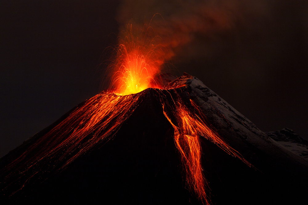
It is of the utmost importance scientists get a better grasp on the planet we are living on. There are so many things we still do not understand or comprehend. Volcanoes, for example, are creations that spark everyone’s imagination, even though it is by far one of Mother Nature’s deadliest “tricks” in the book. Up until this point, it has been very difficult to predict potential eruptions, but that may be about to change soon.
Scientists in the United Kingdom are planning to use two individual satellites to continuously map the Earth’s surface, looking for any signs that may hint at volcanic activity. To be more specific, the satellites will provide images and information regarding changing round shapes, which should be one of the primary indicators of a soon-to-happen volcanic eruption. Keeping in mind how our planet is home to over 1,500 land volcanoes – that we know of – there is a lot of information that needs to be gathered around the clock.
Some people may wonder why satellites have never been used for this type of purpose in the past. As of right now, a few dozen of these volcanoes are actively monitored, even though any of the 1,500 can erupt at any given moment. Moreover, the current monitoring system heavily relies on GPS and seismic stations, alongside magnetometers and a few other tools. However, measuring any major changes from space has a lot more merit, or so the UK scientists believe.
The equipment required to monitor land volcanoes is very expensive and not that easy to come by in large quantities. Moreover, it recovers a vast team of scientists to keep track of all data and ensure all equipment is functioning properly at all times. It also puts these people’s lives in danger, as they have to be relatively close to the volcano in question. Should it erupt, it is very likely the scientists will not make it out alive.
By using the two satellites, it not only becomes possible to monitor all volcanoes around the world on a routine basis, but it also makes life a bit easier for scientists. If anomalies are detected, they can still go to the volcano and check it out if that need arises. Moreover, this technology allows for the monitoring of a much wider area, which undoubtedly will provide valuable insights for scientists as well. Plus, it will serve as an excellent warning system for affected areas.
Several trials of the satellite-based monitoring projects have already been conducted in Iceland. Right now, the team is running a similar test across Europe and a part of Asia. The plan is to cover more ground in the coming months, especially where Central and South America are concerned. These particular regions are home to dozens of volcanoes with multiple eruptions taking place at any given time. This project is made possible thanks to the Sentinel-1 radar satellites. It will be interesting to see how this project fares in the coming months.
If you liked this article, follow us on Twitter @themerklenews and make sure to subscribe to our newsletter to receive the latest bitcoin, cryptocurrency, and technology news.